
Exploring the Queyras between autumn and winter – Part 1
Autumn is one of the best seasons for mountain biking in the mountains. Mild temperatures, beautiful light and few people on the trails. The Queyras offers grandiose landscapes and exceptional conditions to those who know how to be in the right place at the right time, and well equipped.
Commercial collaboration with Trek
Here’s a story built on photos and videos, to give you as many images as possible, make you want to grab your mountain bike, and share some information about the gear I used.
A little guide for lovers of autumn and its shimmering colours.
Among the images that struck me, those of Jey Clementz, Damien Oton and their crew in the Queyras rank high.
Bright yellow larches contrasting with tall orange grasses against a blue sky make for a dream setting in natural landscapes that are already grandiose.
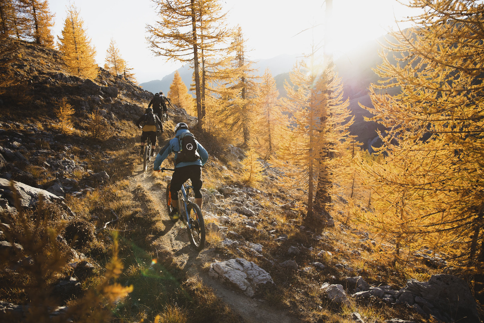
You have to admit it looks amazing! Photo: Dan Hearn
What is the Queyras?
The Queyras (whatever you do, don’t pronounce the “S”) is a regional nature park in the Hautes-Alpes between France and Italy, covering the municipalities of Arvieux, Abriès-Ristolas, Aiguilles, Ceillac, Château-Ville-Vieille, Molines-en-Queyras and Saint-Véran.
The park is full of little-used routes because of its relatively limited accessibility. Yet those who know the area all agree: it’s surely the best place to ride a mountain bike in autumn.
So the idea had been at the back of my mind since those images came out, but I had never had the opportunity or the time to make the detour.
And it was on my way back from the Roc d’Azur that the conditions came together for me to put my wheels on the Queyras’s excellent routes.
So I went there a first time with Sébastien Petitjean, mountain bike guide and instructor with his company Ridevtt.com, to discover a few routes.
A chance to discover the magnificent Lac Miroir, the Col de Chamoussière, the hamlets of Clapeyto and the Glaisette ridge.
Warning
The routes featured in this story were ridden independently, on private rides.
To preserve these routes, it is essential to respect the local ecosystem, starting with the locals.
They build, signpost, maintain and showcase the trails, and allow us/you to enjoy them. Call on them if you’d like to discover the Queyras with a guide.
Next, the trails themselves: respect them. Don’t build or destroy anything on these routes.
Then, other trail users. Make every effort to announce your arrival so they don’t get frightened.
Your ability to brake hard must not be an excuse to brake as late as possible.
The risk perceived by walkers is real and can lead to our sport being banned outright on these routes. Not to mention the risk of collision.
Finally, respect the wildlife and plants, and take your rubbish with you.
Stage 1: Lac Miroir
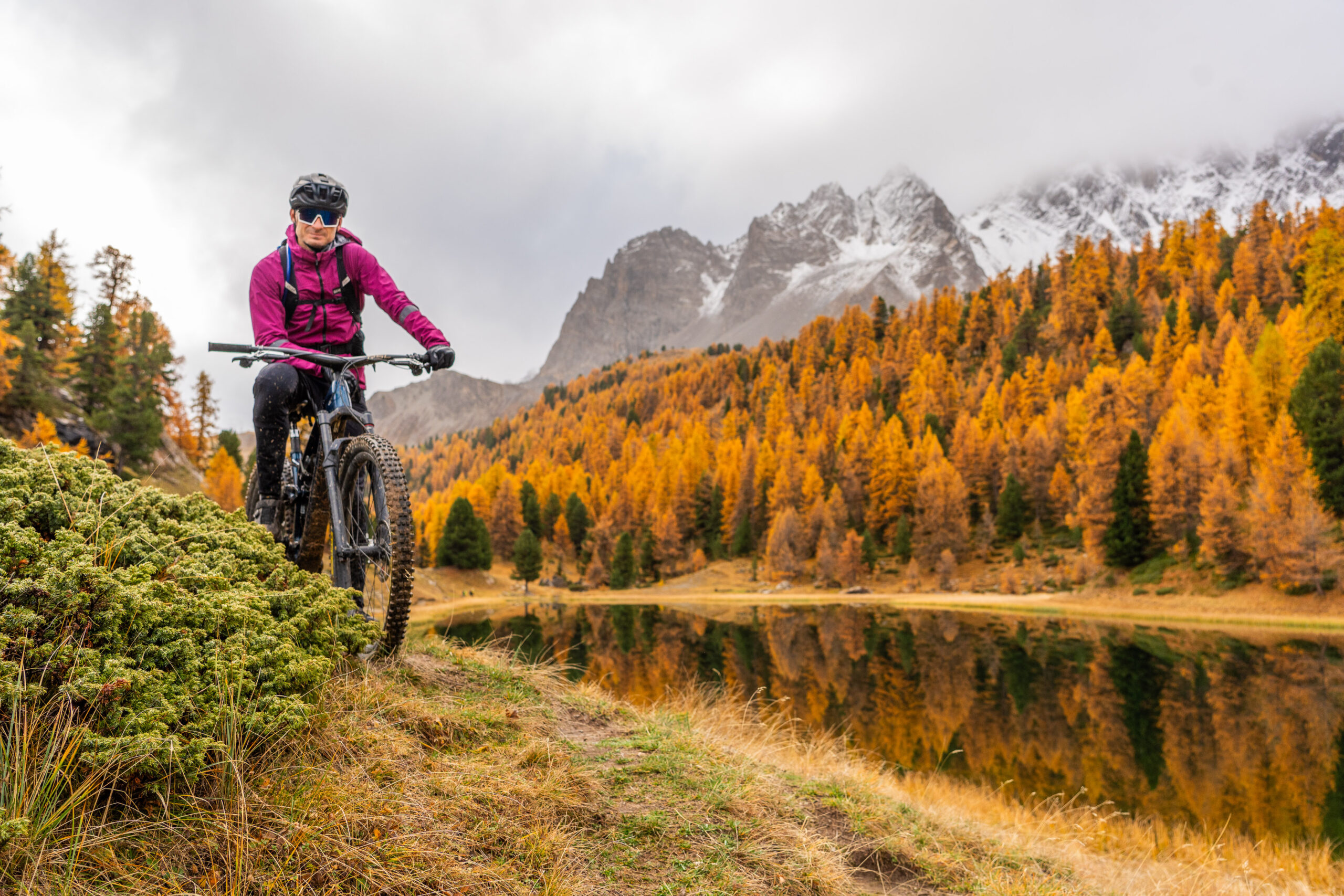
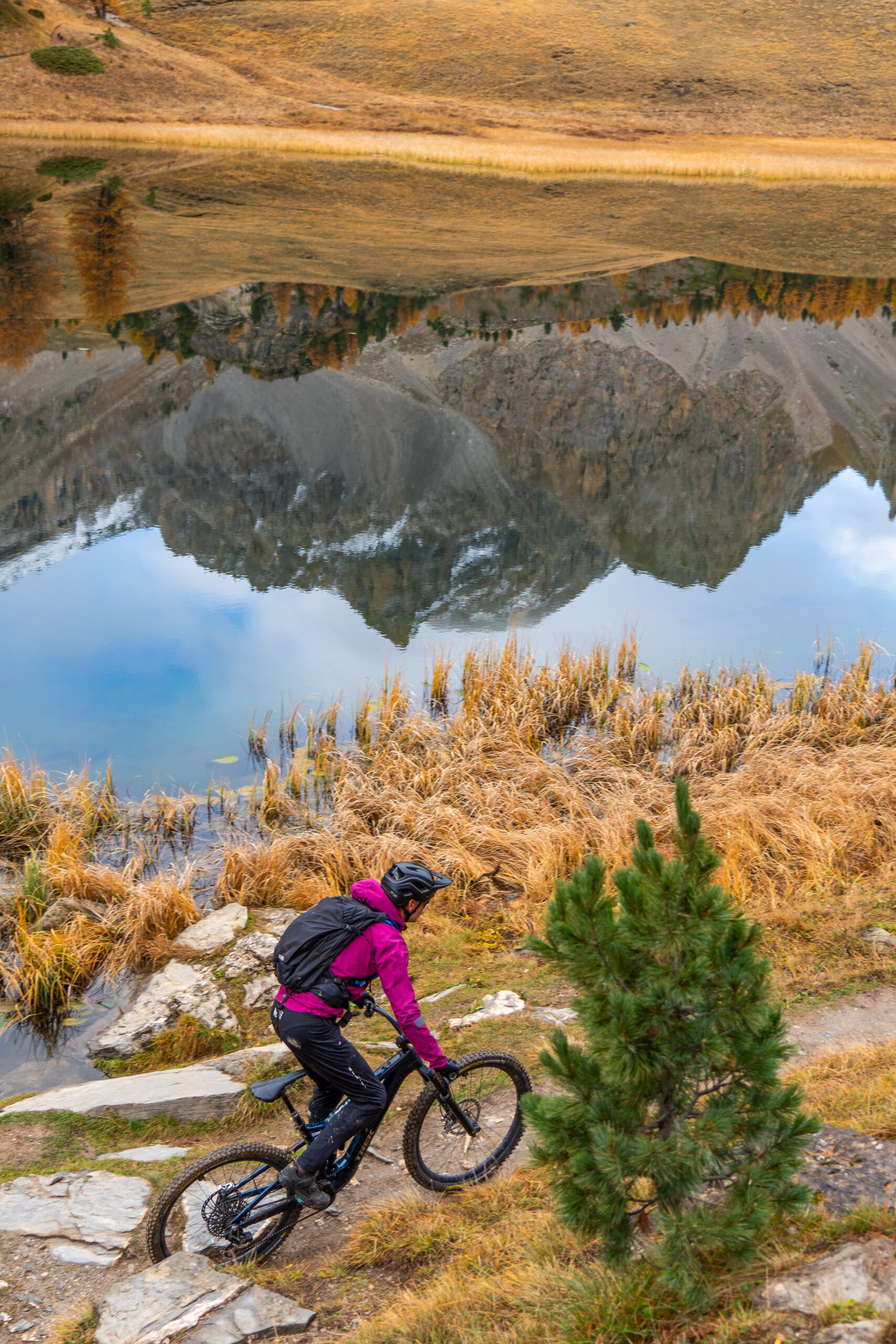
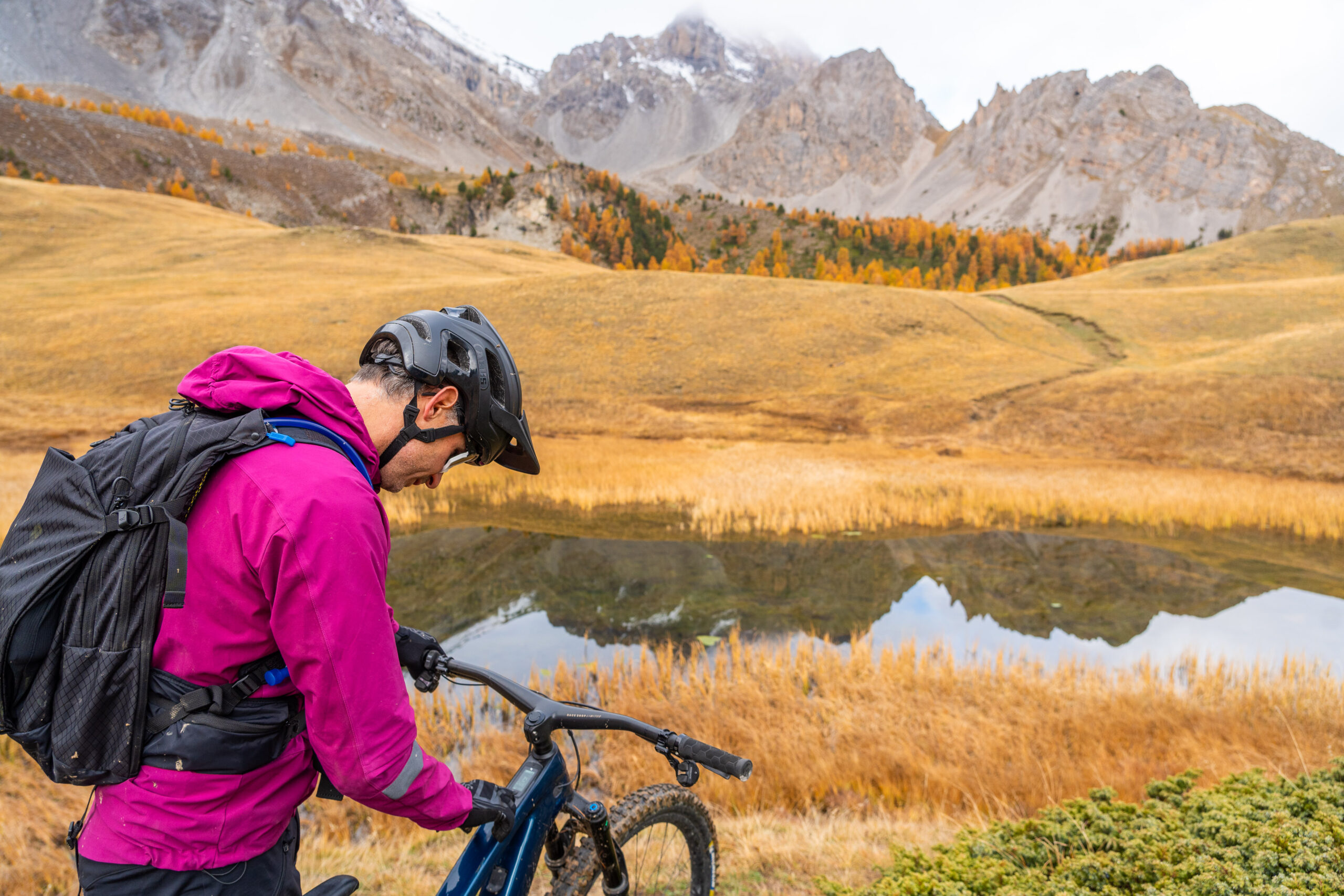
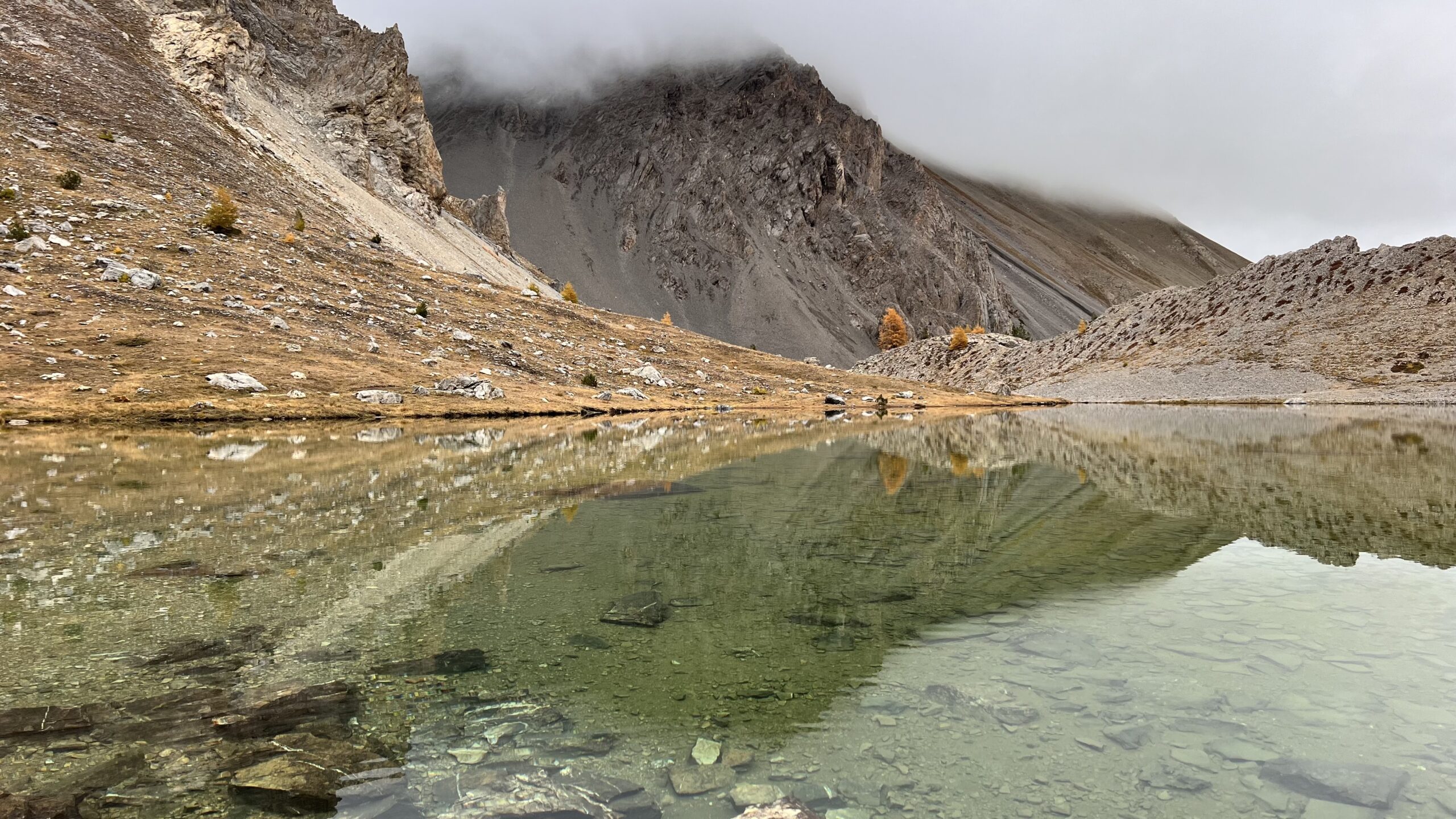
Lac Miroir (“Mirror Lake”) sits just above Ceillac and takes its name from the reflection of the landscape on its calm waters.
It can be reached via several routes, such as the one leading to Lac Sainte Anne.
Very popular with hikers, its access is shared with walkers.
So it’s essential to take the greatest care along the whole route, both going up and coming down, as some sections are blind.
You won’t set your best time on the descent, but the scenery is worth the trip.
Photos by Manu Molle
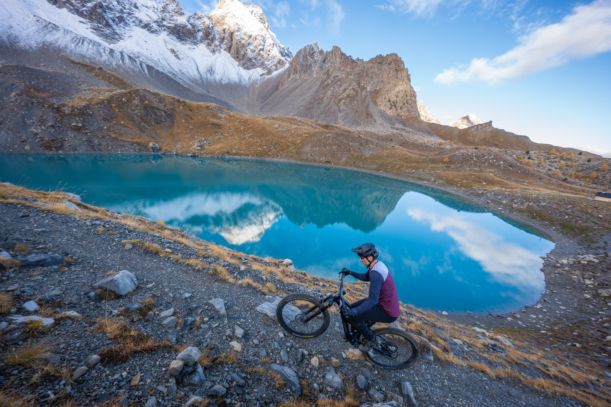
Don’t be seduced by the turquoise-blue waters of Lac Sainte Anne.
Chances are the temperature is cooler than you think…
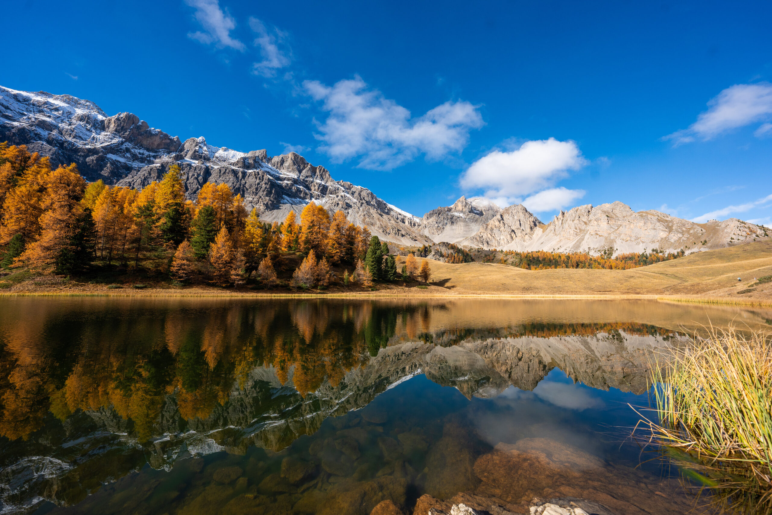
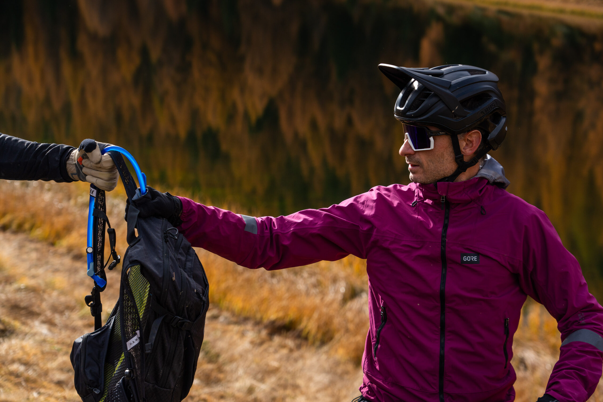
The famous Lac Miroir — you have to admit it’s not the worst place to ride a mountain bike
Here’s the GPS track!
Part 2: The Col de Chamoussière
After this first great discovery, Seb decided to take us on another route to scout a course.
The goal was to ride the descent to St Véran from the Col de Chamoussière.
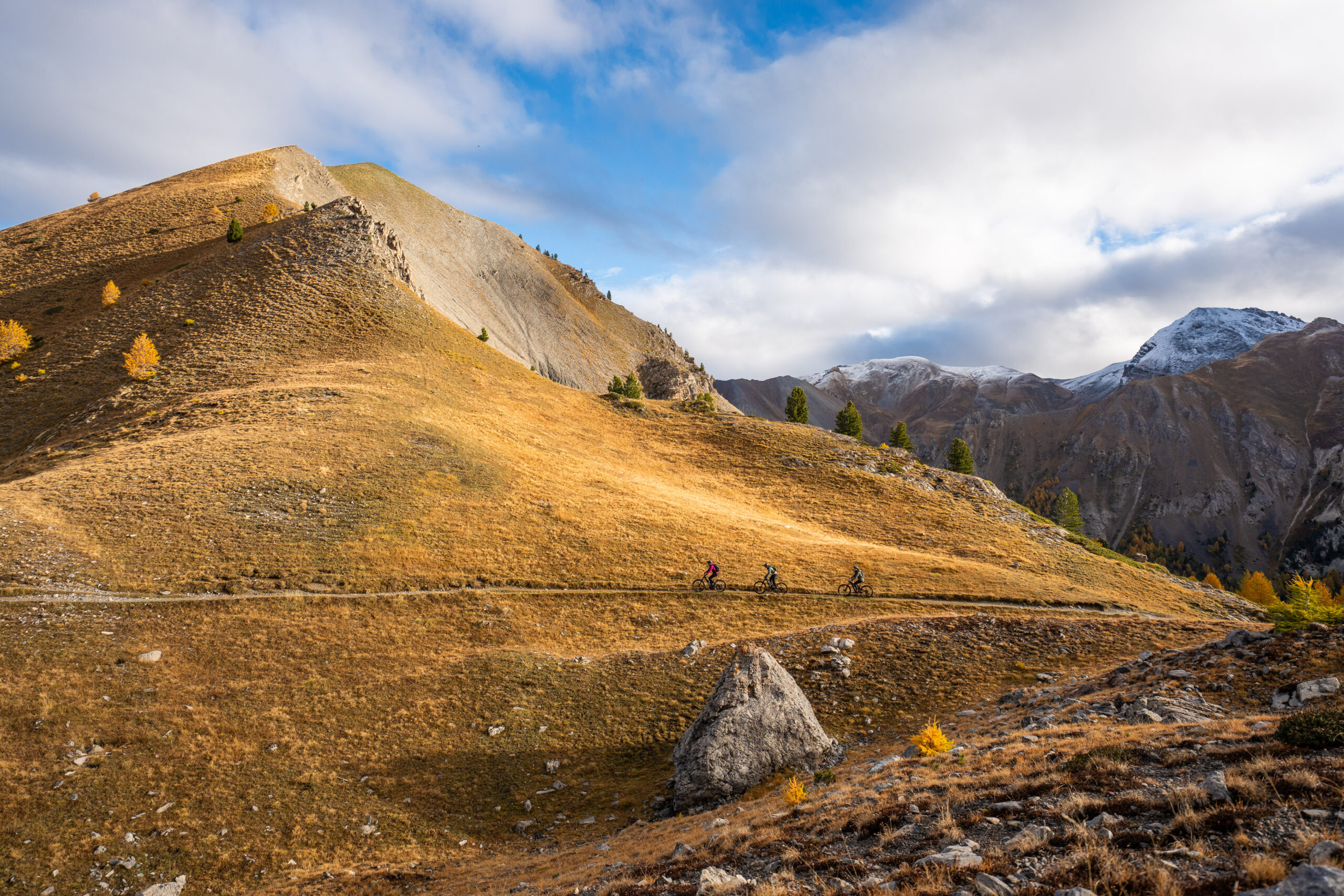
There are several ways to get there. The first is to take a shuttle from Molines en Queyras to the Col Agnel (between France and Italy), and the second is to do it all on the bike.
Seb had the bright idea of having us do it on the bike via an old canal that climbs gently for 15 km, which, as you can imagine reading this, absolutely delighted me 😉 .
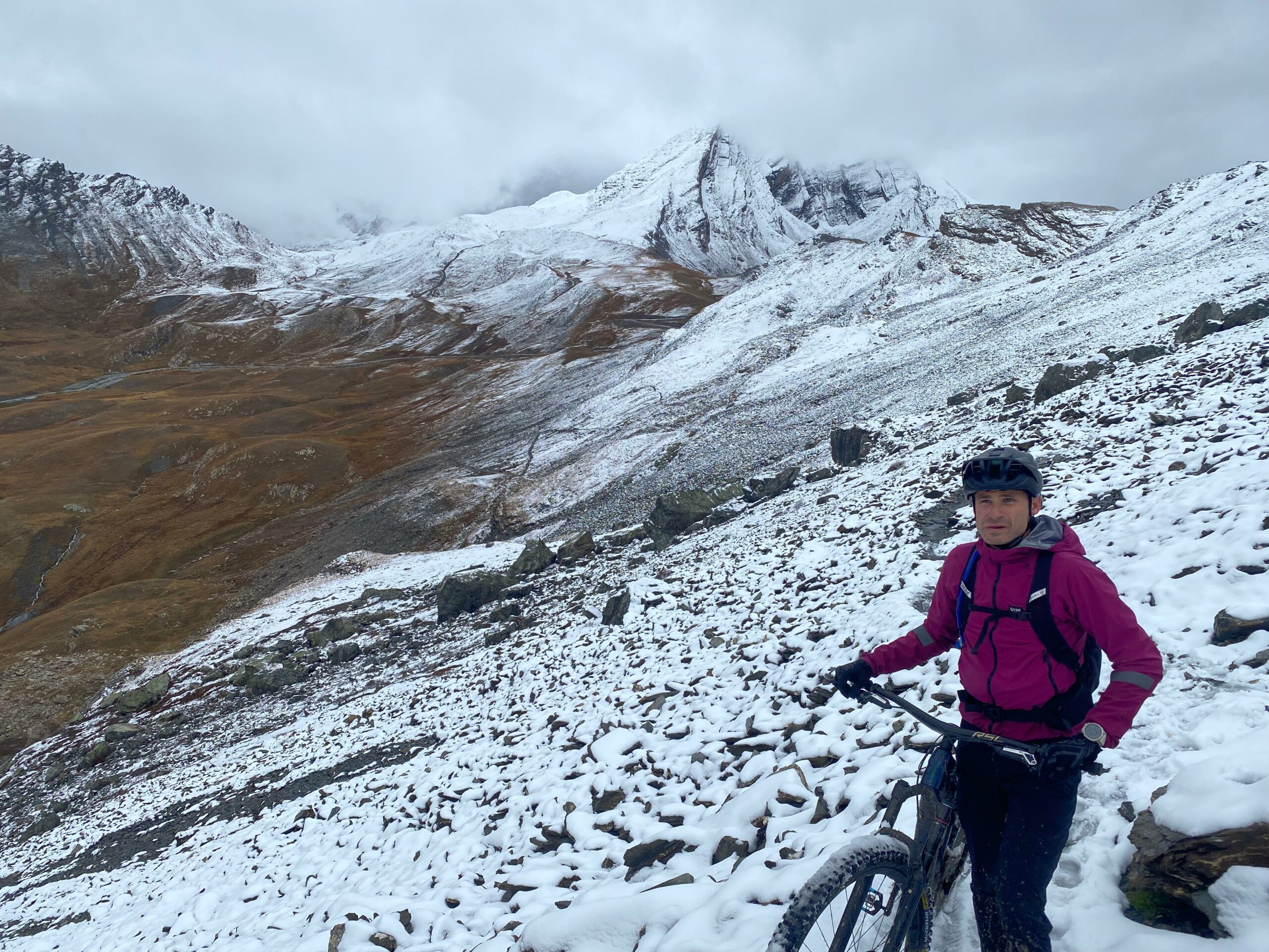
Add to that fresh snow from the very first metres of the climb to the col, and it’s a real treat for those who, like me, arrive with fairly low energy levels after that long gentle climb.
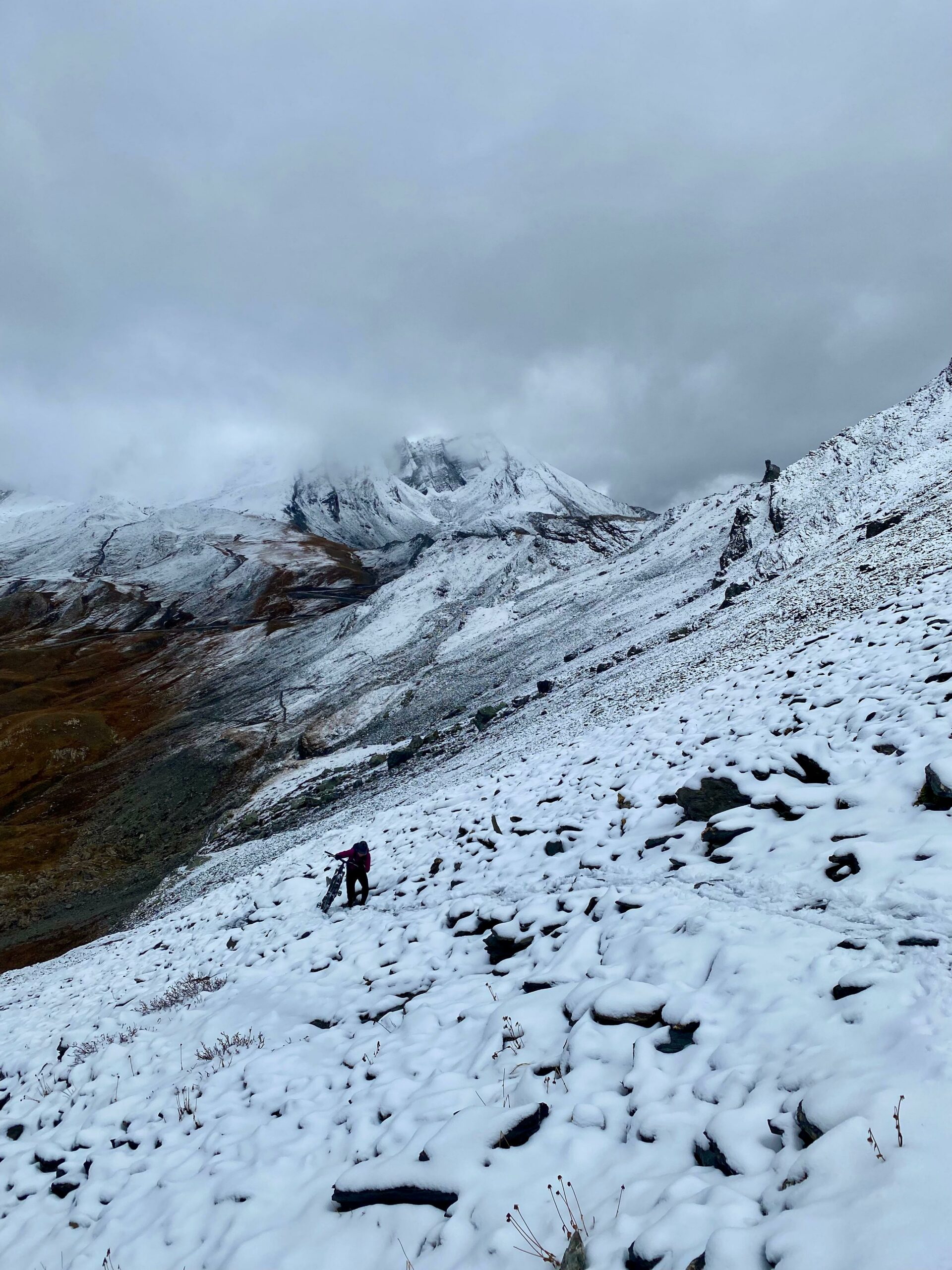
Did someone say “Mission”?
In the picture, a Taillo absolutely delighted with the moment he’s having…Image caption…
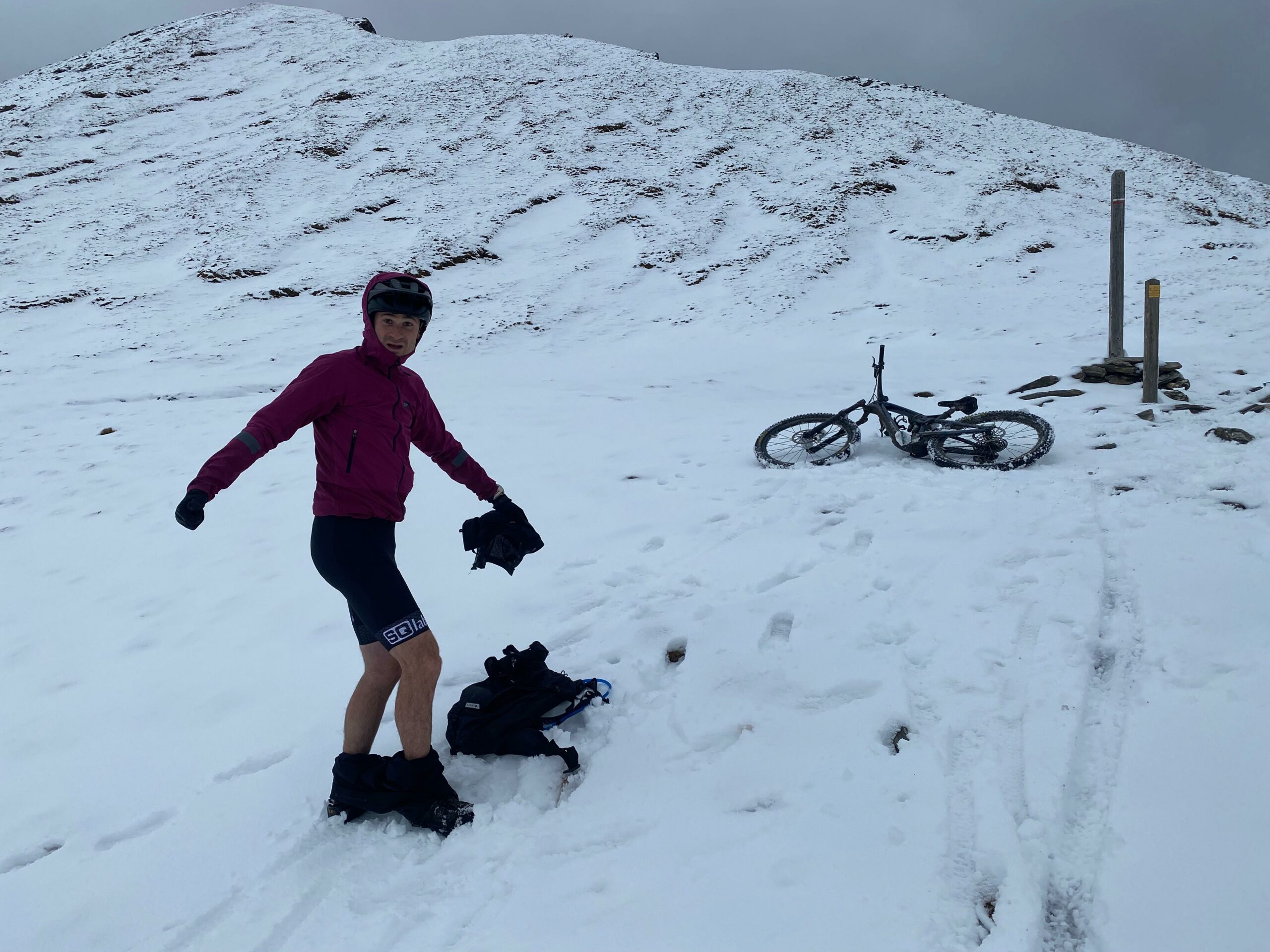
Still, be careful not to get carried away by the speed. You never know what surprise might be waiting…
Here’s the GPS track!
Stage 3: Lac Lauzon from the Clapeyto chalets.
The Col du Lauzon is in the municipality of Arvieux, at the foot of the Col de l’Izoard.
You reach it via a place that feels out of time: the Clapeyto chalets. A kind of hamlet that seems cut off from the rest of the world, where you’d happily spend the rest of the year.
Once past the chalets, you make your way towards the Col du Lauzon, and once you reach it, an almost non-stop descent back to the starting point awaits.
But beware: to savour this descent and the magnificent colours of the blazing larches, you’ll need at least some “mountain” riding technique, as the trail is fairly rough and some sections can give you a few scares.
Ideally, leave a car near the excellent La Jamberoute restaurant and drive up to the small car park above the Izoard campsite.
Note that this car park is small and you’ll probably have to go back down to the campsite to park. Photos by Taillo and Laurent Montfort
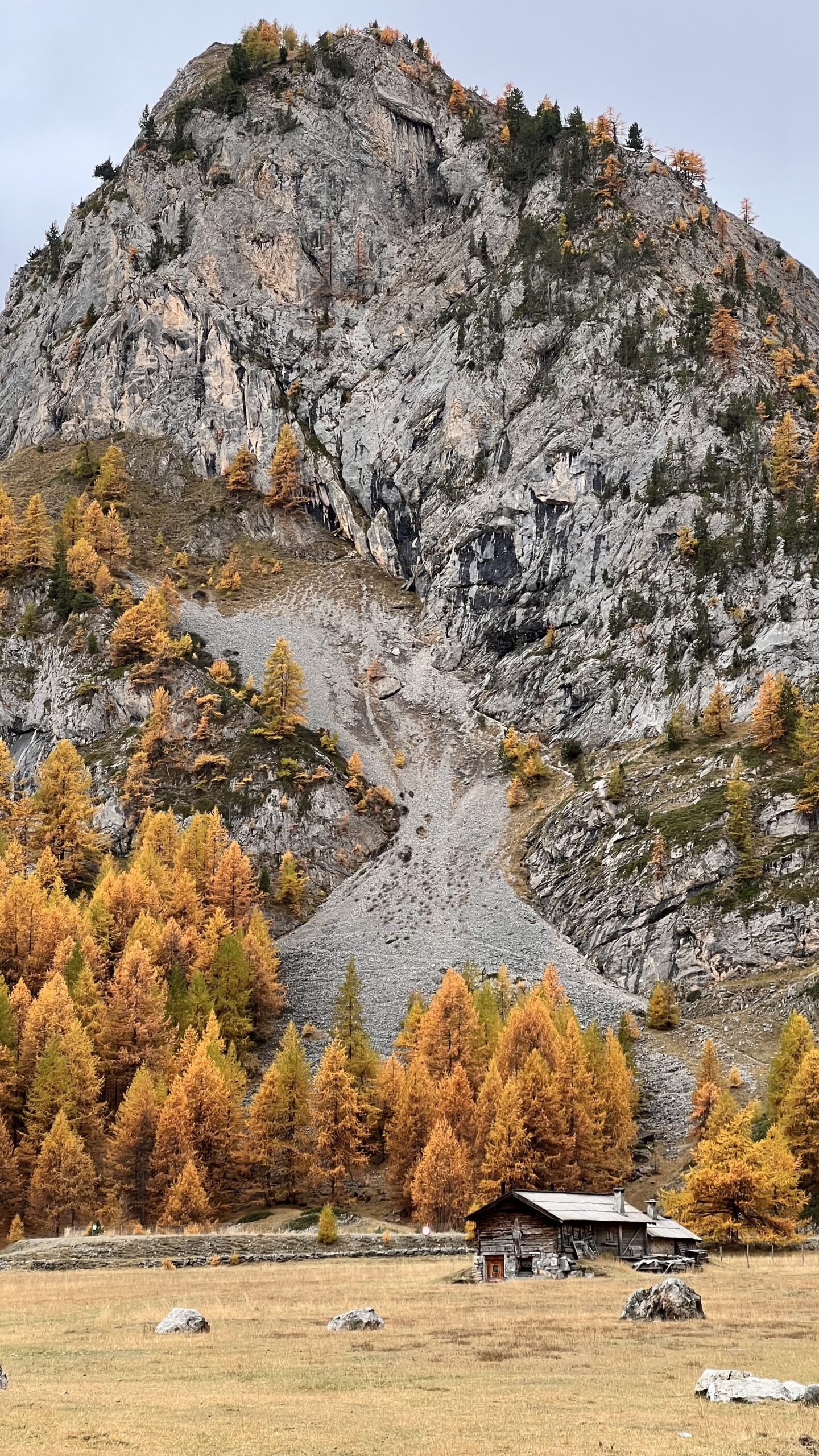
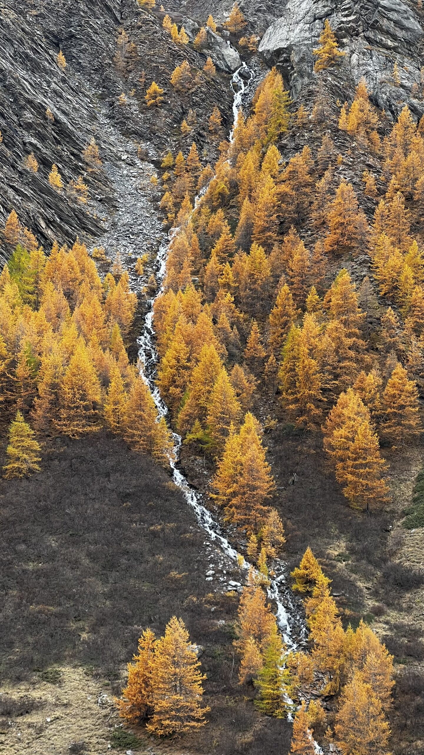

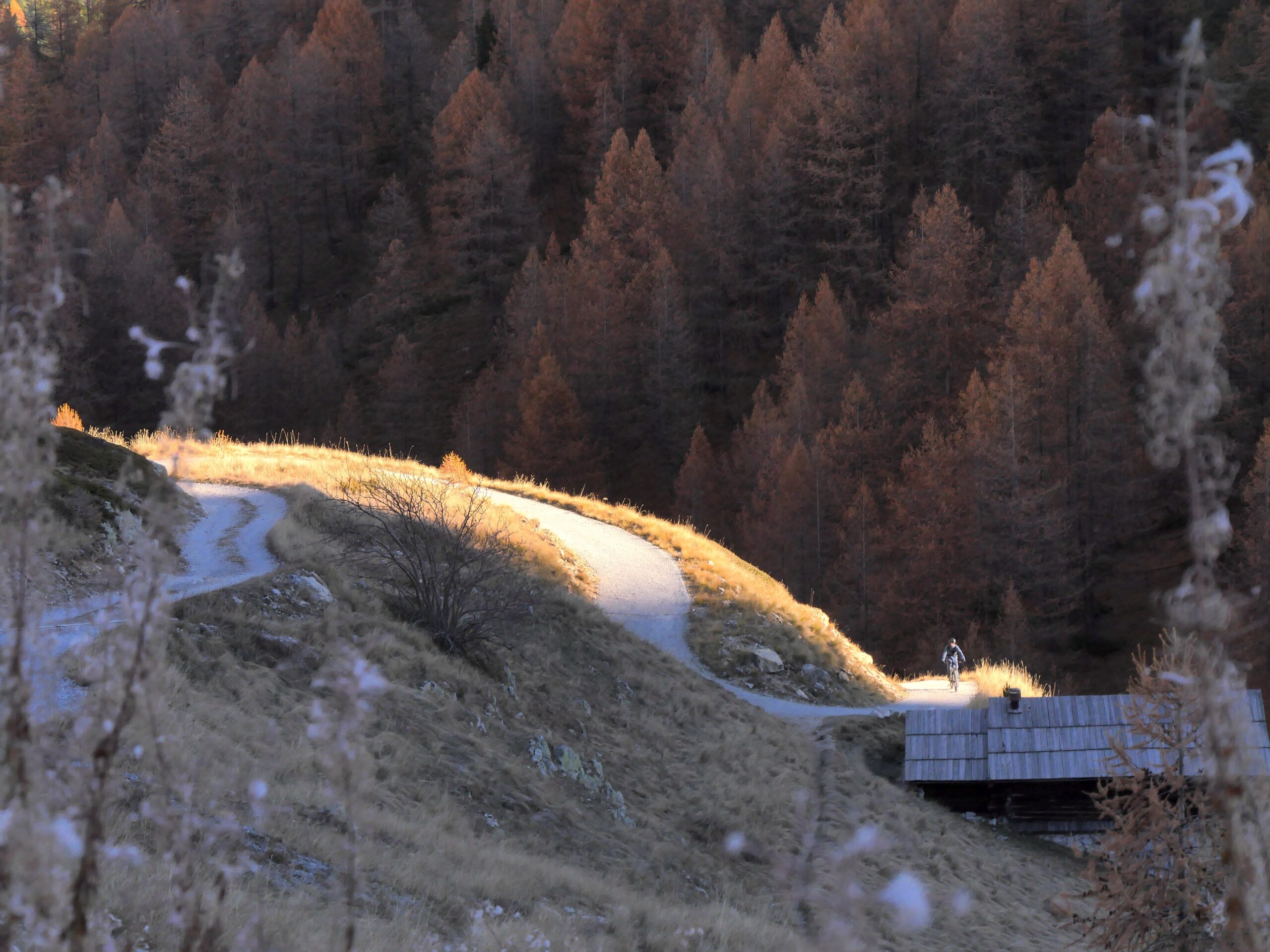
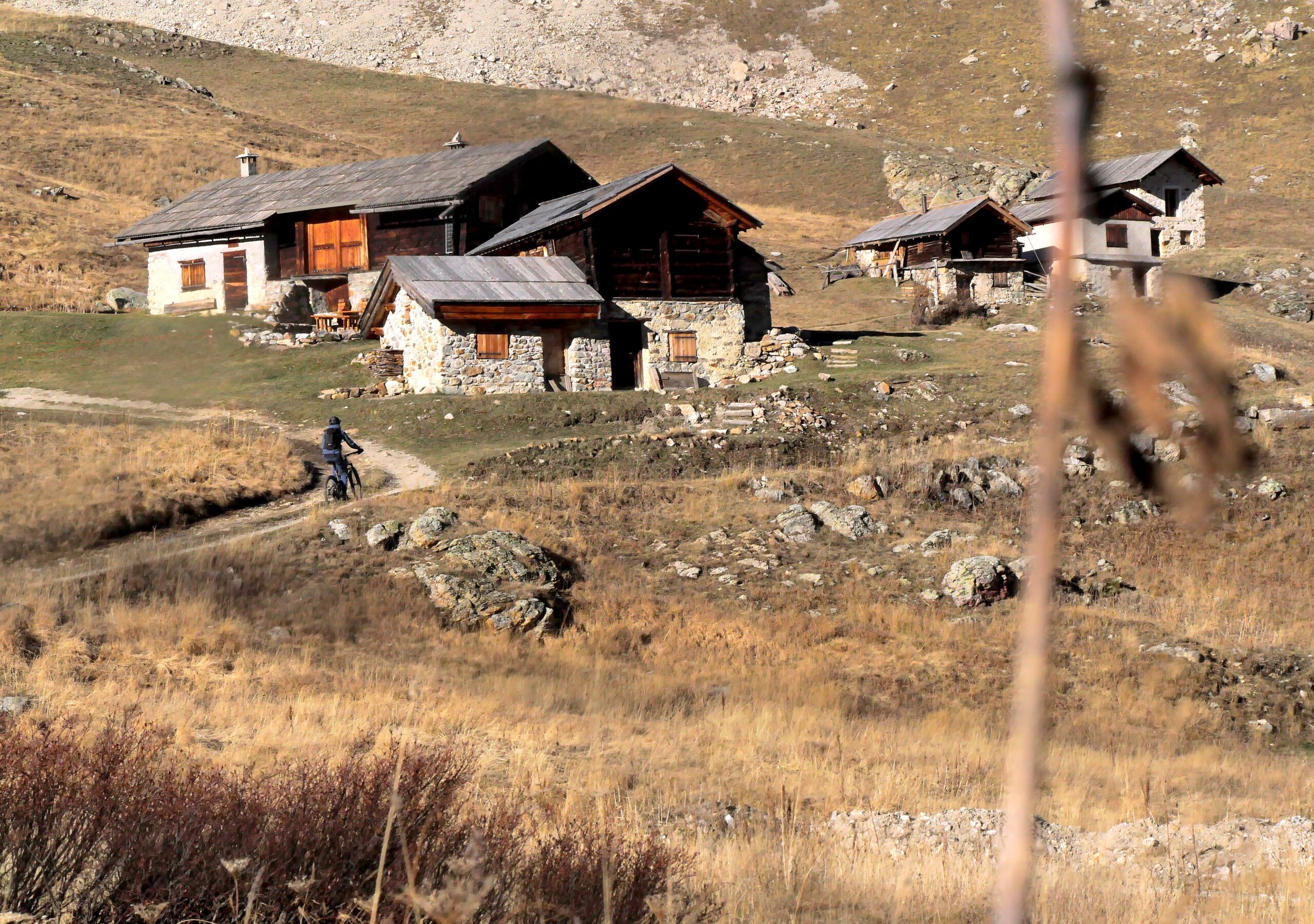
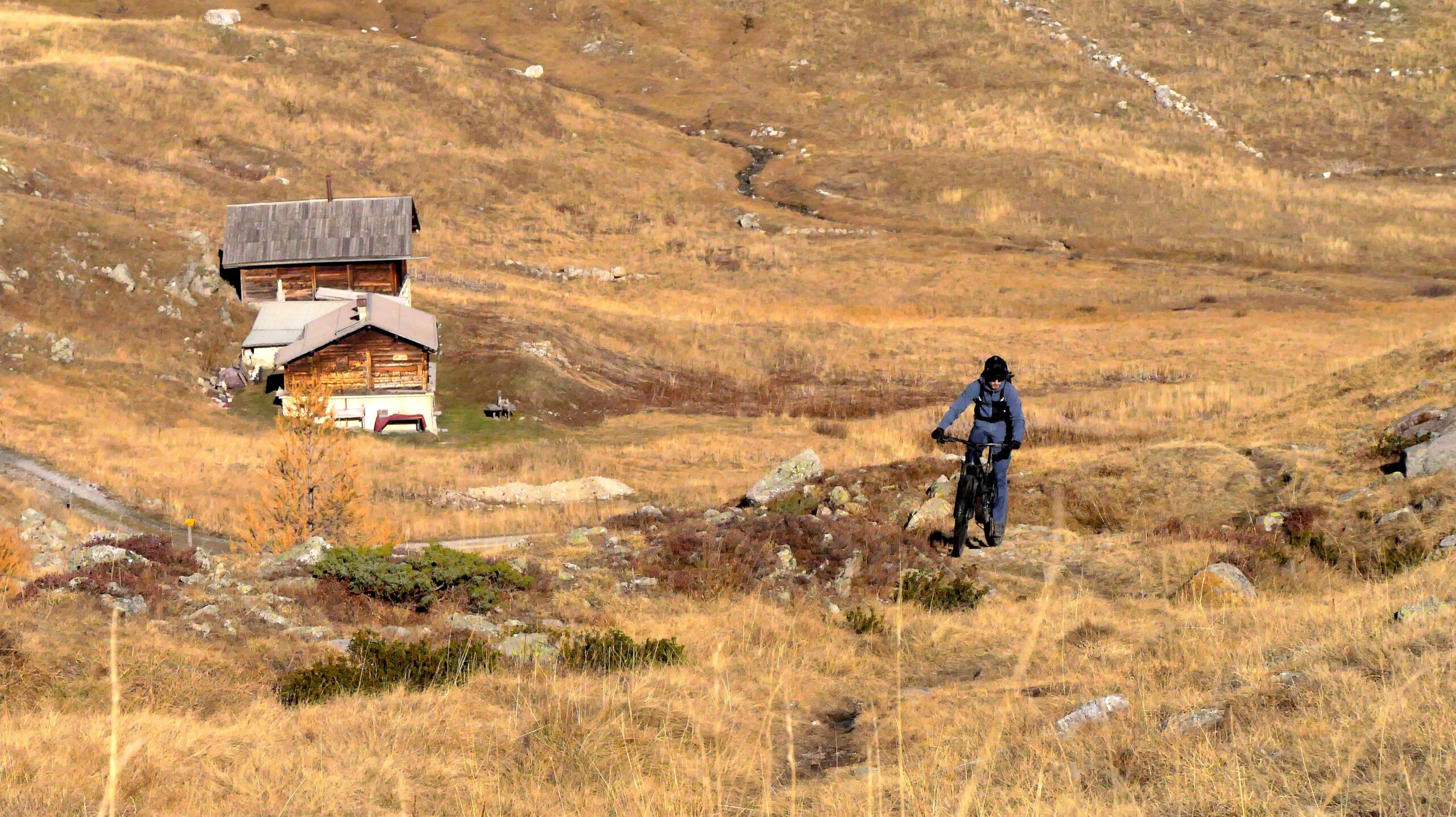
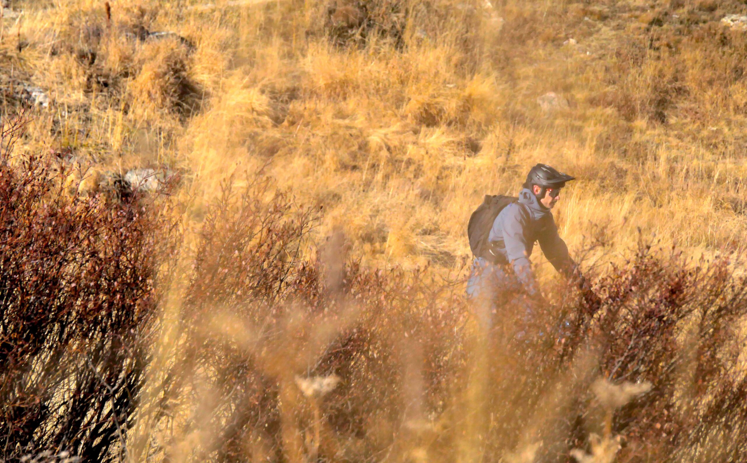
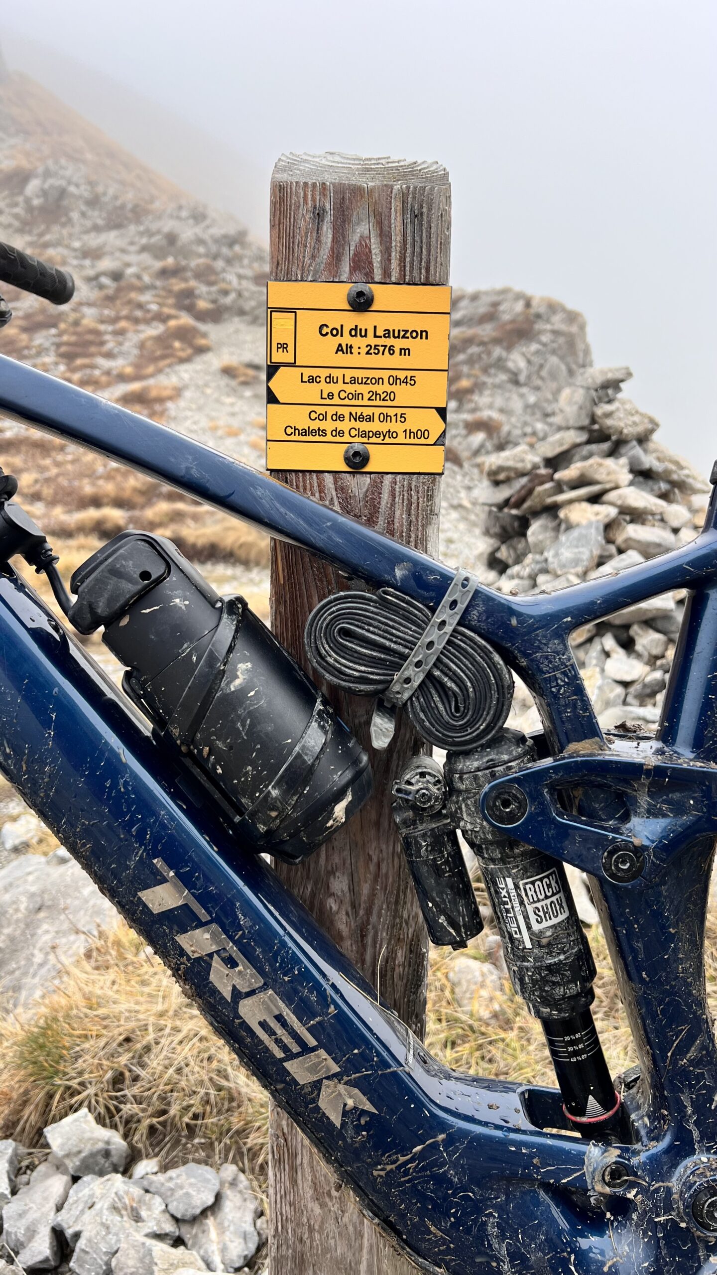
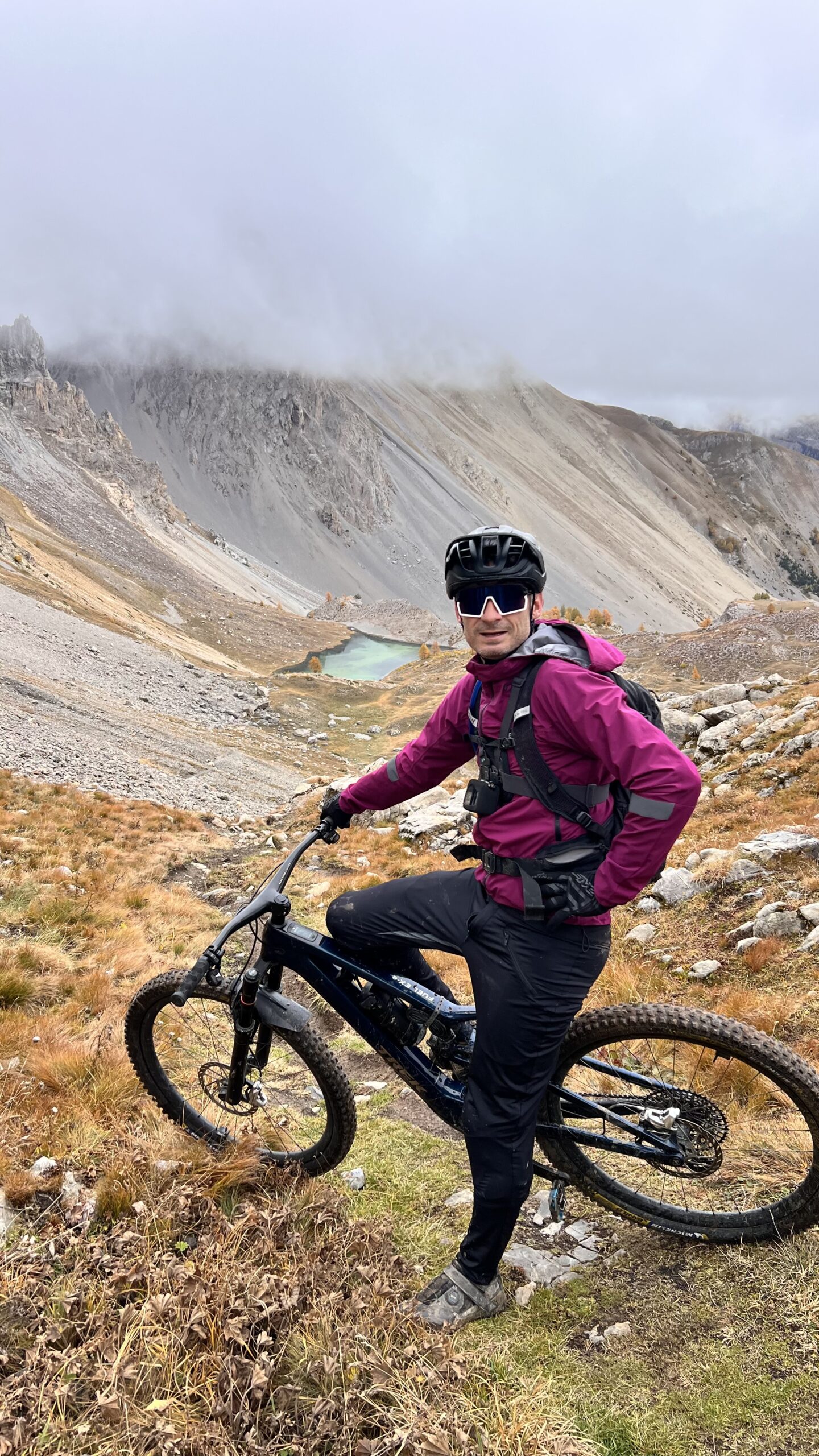
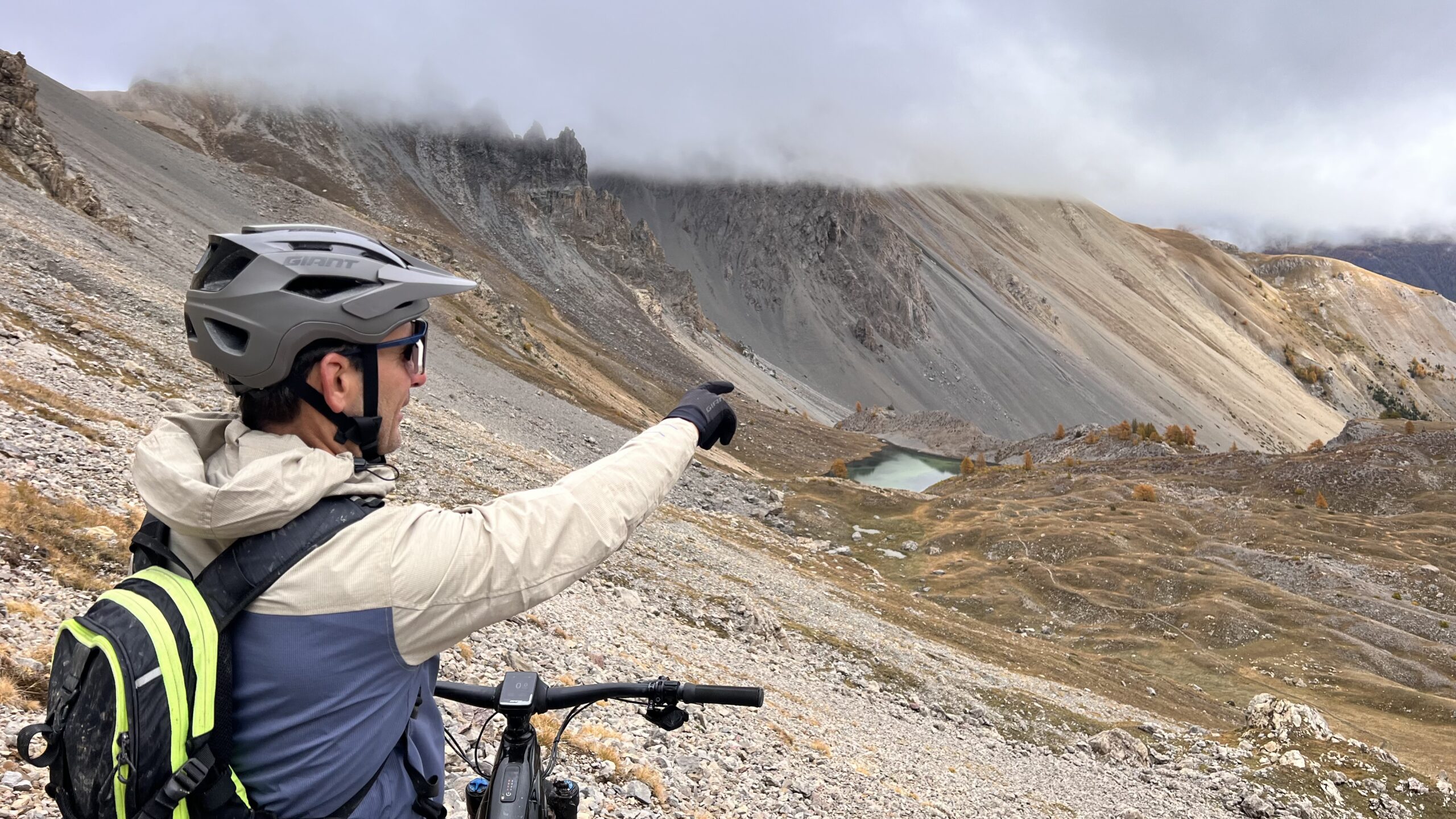
Seb shows us the way…
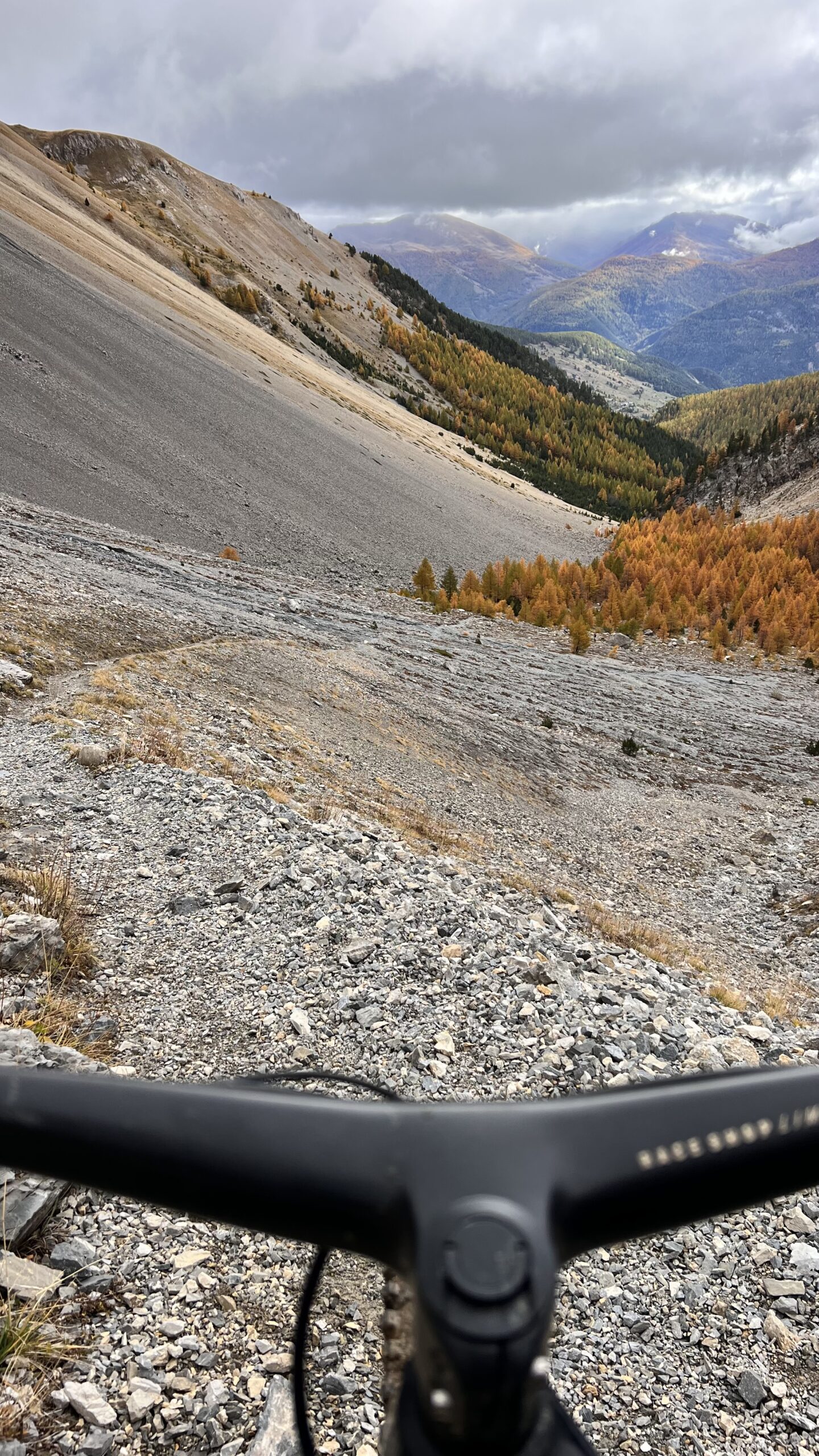
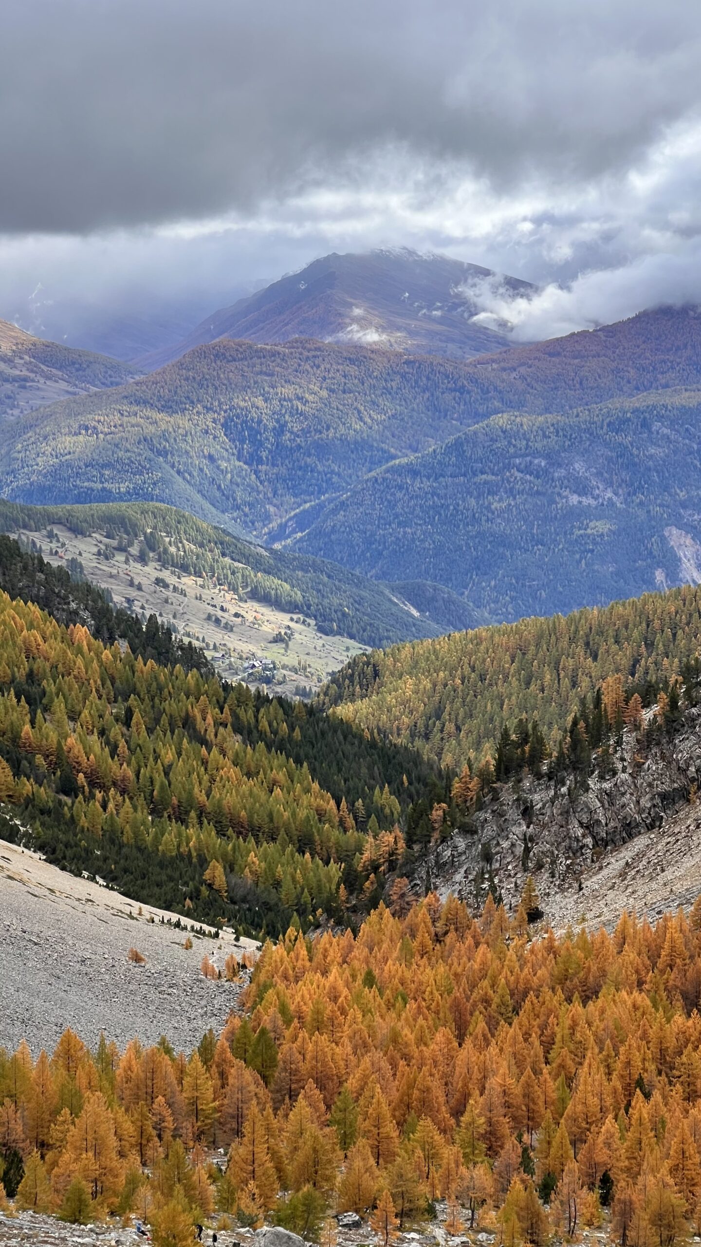
Ready for the descent? Let’s go!